
 OK...we have our map again.
Today began in Lewisville: Orange line; center right hand side; and,
Ended at Sam Black Church: Orange line, center, I-64 mile marker 154
 Up and leaving Lewisburg before the Sun came up over the mountains.
Court House Steeple ... with growing cloud cover...and another jet contrail.
 Lights were still on at the church as I walked up steep US 60 leaving town.
 Well...finally...one can see the steepness of the hill - thanks to the building foundation.
 Unique cut-log frame building in Lewisburg, VA.
 Lewisburg is a "war" town since before 1776.
 New home construction on the outskirts of Lewisburg.
 US 60 travels through a picture-perfect valley for 20 miles or so; then, takes a left through a low range of hills, finally arriving at Mount Clintonville...a mountain road to challenge any crossing the Rockies or Cascades.
 All too often, we come across derelicts...vaporized dreams.
 Neat as a pin...no blade of grass out of place...this is the valley I walked through this morning.
 ...full of rolling hills, small streams of crystal clear water.
 At the top of the distant range of hills, there is a sudden "dip".
US 60, curving down hill on our right, leads to that distant "dip"...and is where I walked this morning before returning to SPIA...a total of about 20 miles.
 Breathtaking scenery all the way.
 Local ranch creativity looks stunning in the overall valley setting.
 Now we know how the ranchers carry those big rolls of hay...he waited till I had taken his picture...then drove into the ranch yard with the water fountain.
 Yesterday, we displayed a geological image of layered rock.
The above image is of similar origin...just much more massive layers.
 No valley is complete without a Red Barn.
 ...this Red Barn has a small tree with its own protective fence...
protected from what, you say ?
 Nope, not ducks.
 A fully complete farm home operation...big barn and Silo.
Silo: A tall - usually round - structure into which newly cut grass (hay) is loaded. Left to ferment over a period of time, the fermented hay is fed to the stock (cattle, etc.) during the winter months.
 Never get tired of looking at the immaculate ranch homes...dozens in all directions...with towering mountains as backdrops.
 A Bull in the Woods !
 Now, this is one big piece of Bull. One reason for the fermented hay.
Black Angus is the animal of choice being raised in this elegant valley.
I was chatting with this big fellow...he wasn't sure I should do that.
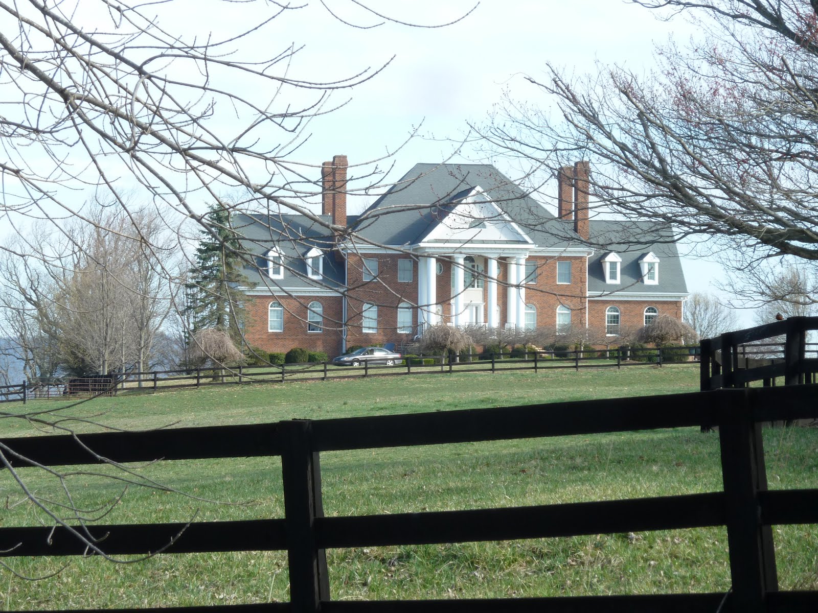 A mansion of sorts...located at the Northern end of Battle Hill.
The valley has two or three long narrow hills - a bit like fingers - running North-South.
This hill, Battle Hill, is noted for the lynching of a black man back at the turn of the century. Seems the black man was arrested / imprisoned in the local jail - where the Police Office is located today - supposedly for murdering a police officer.
According to lore, the locals put together a vigilante group, broke him out of jail, tied him to a vehicle with which they dragged him over to Battle Hill and strung him up from a big tree.
Nope, no trial.
 US 60, descending Battle Hill into the valley.
 Please say HELLO to Shihad.
On my way back to SPIA, Shihad and his sister, Dana, ran past me...stopping to learn what the heck I was doing way out there.
 Please say HELLO to Dana...with Brother Shihad's arm resting on her.
Dana is a local. Shihad, visiting from Washington D.C.
They were also returning to Lewisburg after completing a 20-miles run through the valley.
 Please say HELLO to John D. Humphreys, Owner of the Court Barber Shop.
Nearing SPIA, parked behind the Court House (on Court Street), came upon John's barber shop and simply had to stop in to chat.
Ended up getting a hair cut along with local history.
 John in front of his over-100 year old mirror, holding his straight razor, with which he shaved the back of my neck. A step into the past...
 Local History.
 George Washington's thanks to the Mountain Men of West Virginia.
 Came across another covered bridge.
A passing tourist kindly took a pic of me sitting on the balustrade.
I returned the favor for he and his wife.
 Please say HELLO to Jeannie (l.) and Tina.
Again, I put this image in the wrong spot. It goes at the end of today's dissertation, as Jeannie and Tina, holding down the fort of the Convenience Store at Sam Black Church (please see the map) kindly agreed to allow SPIA to park for the night.
Thank you, ladies.
 Route 60 in West Virginia is know as the Midland Trail.
The next image explains why...
 This March is commemorated in several places along US 60.
 SAM BLACK CHURCH...
The next image details the history of this church which is about 1 mile from where SPIA is parked for the night.
 After leaving Lewisburg around noon, we drove to SAM BLACK CHURCH and parked. In doing so, I became a bit guilty.
I had walked plenty of miles this morning to get us to SAM BLACK CHURCH, but I did not know there was a real honest to goodness MOUNTAIN in the way...Clintonville Mountain.
Clinton Mountain is Steep - Winding - Narrow - and about 2 miles by road to the top.
I wanted to stop, park, get out and walk...alas, there was no place to pull off the road.
So, when arriving at SAM BLACK CHURCH, located on the valley floor on the opposite side of Clintonville Mountain, I parked SPIA and walked back up to the top of the mountain from the West side - the not-so-steep side...and, of course, back down again to retrieve SPIA.
I felt much better having done that !!
 Please say HELLO to Greg Nichols.
I met Greg while walking up Clintonville Mountain. He was operating his Uncle's new tractor, helping some folks do some yard modifications.
After parking SPIA at the Convenience Store, Greg and I met again, got to chatting, and took these pictures.
 Greg's beautiful (Uncle's) tractor.
 Forest on Clintonville Mountain is just like the other forests we have passed.
 Clintonville sits atop the mountain.
 ...where one enterprising resident has built a stairway over his fence.
 Another has conducted his Greenhouse business since 1972, raising his children...and now his grandchildren in the process - I met one grandson today.
Although being shy about photographs, please say HELLO to Tom Tuckwiller.
Tom is one of a large clan of Tuckwillers in the area. Tom tells me that Tuckwillers living on the East side of Clintonville Mountain are called "Thee Tuckwillers".
Those of his clan living on the mountain and to the West are referred to as "The Tuckwillers".
Onesupmanship, I guess.
 This most unique cemetery straddles US 60 on top of Clintonville Mountain.
As in the valley I just walked, not a blade of grass out of place...precision in every way.
* * *
Tomorrow morning, SPIA stays parked while I walk to the town of Raineville, about 14 miles to the West. Beyond Raineville, I am told is the twin to Clintonville Mountain, with the Eastern side being the STEEP side.
This time, day after tomorrow, I will walk up - and back down - the steep side before continuing with SPIA West on the Midland Trail (US 60).
No comments:
Post a Comment