
 Our final sunrise on the shores of the Kanawha River in West Virginia.
 New map of the State of Ohio (partial) with our new walking route penned in orange.
The Kanawha River flows into the Ohio River at the lower right corner...we will walk to the top left hand corner...and beyond.
 Push Boat with empty coal barges heading up stream in the Kanawha River.
 A private speed boat chasing the push boat and barges.
 Church in St. Albans, West Virginia.
 Since we walked yesterday afternoon to the town of Winfield, we drove there this morning to begin our walk.
 The Union Soldiers were entrenched on the grounds above.
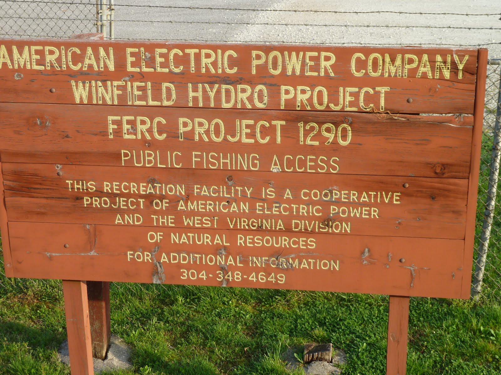
 Dam on the Kanawha River...to provide electrical energy and with the use of marine locks, raise and lower the push boat / barge systems as they travel up and downstream.
 Please say HELLO to Neal (l.) and Tom.
I interrupted Neal and Tom to chat about the dam and fish in the river.
Both of these gentlemen are locals...having lived nearby their entire lives.
The river has Walleye, Small Mouth Bass, and very large (up to 40#) Catfish.
 Finding my way out of Charleston...and beyond to the Ohio River, has been a challenge.
The road maps show only one roadway...US 35.
US 35 does not exist leaving St. Albans, or in Winfield, West Virginia. Instead, State Highway 817 is where US 35 is supposed to be...so, I followed Highway 817 all morning.
Lo and behold, Hwy 817 - about 4 miles north of Winfield, Hwy 817 has a connector to a new freeway - open access roadway - which is called US 35. So, I shifted over to US 35 for another hour before returning to SPIA.
 US 35 freeway above the Hwy 817 connector.
None of this is on the map !!
Returning to SPIA, drove the connector onto US 35, which freeway suddenly narrowed back to a 2-lane roadway...and a very badly maintained one.
Found a wide spot, parked SPIA, and walked an additional 8 miles on the "narrow" US 35, before returning to SPIA.
Traffic on the narrow US 35 was horrendous...8 of 10 vehicles being 18-wheelers...the highway broken up...the edge of the asphalt with a 5 - 6 inch drop-off...and vehicles driving much too fast and tailgating so close as to be a miracle there was no accident.
 Continuing my drive with SPIA on US 35, we came upon an off-ramp back on to Highway 817, which we took. We immediately came upon "US 35" road signs instead of Hwy 817 signs.
Suddenly, all became clear: Hwy 35 has been made newly, running parallel to the old US 35 (now called Hwy 817). They eventually join back into a single roadway about 1 mile before reaching the Ohio River / Ohio Border.

 Corn field in fallow - i.e., just standing there rotting back into the ground.
 We have now left all the high Allegheny Mountains behind, and have entered into lush farmland following the rivers.
 US 35 with it's dangerous roadway. Trucks are bumper to bumper traveling at 55mph only inches from me...un nerving.
My biggest concern is that I might trip and fall into the traffic...every step is controlled.
 Please say HELLO to Gregory.
Gregory is a farmhand (employee) of a special farm where we parked SPIA for our third walk of the day.
 Gregory's tractor is pulling a just-emptied manure spreader, shown above at the working end.
The machine is filled with cattle / cow manure which has been allowed to ferment for a few months. The trailer is pulled across the pastureland, the manure exiting the back of the trailer into those blades which are whirling rapidly...the sh_ _ is flung as tho it has just hit the fan...which in a manner of speaking it has, scattering wide and far, nourishing the pasture grass.
Yes, my past life also included such contraptions on my 10-acre farm in Maple Valley, South of Seattle...where I was fully in love with my life...cursing the darkness because I had to stop working on my fields.
An aside: In Asia, such "poop" transporters are called "Honey Buckets".
But, just for the record, I am equally at home at a 5-star restaurant in Lyon, France...as I am shoveling sh _ _ out of the cow stall in my barn.
 The farm Gregory works on is a State Owned operational property, having been donated to the State of West Virginia by the family of General John Mc Causland.
I did leave SPIA parked next to the Farm House while I walked our third leg of the day.

 Memorial Farm House...SPIA on the far left.
 Memorial farm buildings.
 Yearling Steers.
Steers /vs/ Bulls:
Bulls are mature Male Cattle used to fertilize female cattle (cows).
Steers are born Male, but at a few weeks old, are "castrated" - testicles removed - , rendering them no longer reproductive.
Steers are what one enjoys in your Big Mac !
 Walking Highway 817...came across two such US 35 signs.
 The real - current - US 35 is about one mile to the West of Highway 817 - until they come together just short of the Ohio River.
 A lost dream...
 ...and a much less mature lost dream...
 ...just down the road a piece...a healthy vibrant - if smelly - farm yard.
 ...watched over from across Highway 817 by the above elegant farm house.
An aside: Brother Jim's - recently deceased - home is the spitt'n image of the above home.
I, together with many Maynard family and friends , worked alongside Jim for years cutting cedar shakes for the roof, and building the actual home...more a family home, entertaining family and friends for many years...horseback riding forest trails, salmon fishing, apple-cider making - sleeping out in the hay barn, etc. etc.
Jim's home is located on Whidby Island, in the Puget Sound, 50 miles north of Seattle.
It is for sale !
 ...another home on Highway 817.
 Farmer and his tractor tilling (cutting up the soil into small bits with rotating discs) his field.
 ...and, yet another elegant farm home.
 This home belongs to the farmer who is discing/tilling his field in the above photograph.
 On the third walking leg, came across this sign and immediately returned to SPIA.
Drove SPIA back to this sign and 1/2 mile beyond only to find that our Highway 817 reconnected with the 4-lane US 35. Another 2 miles, we came upon the Ohio River.
 Wild flowers in bloom.
 Clear water creek.
 Twice I walked by this group of girls.
 On this, my return trip to SPIA, I believe they have come to a verdict about me...
and, I am concerned...those looks do not encourage confidence.
 ...and this little fellow - also a steer - is, I hope NOT, about to become VEAL.
Veal = Baby Cattle
 This a larger coverage map of the State of Ohio showing our proposed route.
 Had planned to walk US 35, but much of it is freeway, which does not allow pedestrians.
Our alternate route will take us into the countryside where much more will be happening to fill up our blog...must consider, however, that VERIZON may not have tower signals for our Mini HP.
Be positive...of course we will have VERIZON signal all the way !!
In the morning, will drive SPIA across the Ohio River Bridge to the village of Gallipolis, where we will continue our walk toward the town of Rio Grande.
Me? I am having a great time. No injuries. Took a 1-hour nap this afternoon between 2nd and 3rd legs, and will be rearing to go before sunrise tomorrow.
1 comment:
On old Rt#35,did you get to see the old mansion of General John's. I saw the pics of the memorial farm, but the old house is a grand thing..google General John..great story about him and his Confederate days.
Boats that push barges of coal around here are called towboats.. yep, the barges that are out in front are called their tow... Just something you know when you've lived on the river all your life.
Post a Comment