
 Leaving Gaston, North Carolina on Highway 46 North at 6:30 am...
This view looks back to the South with the Sun just breaking through the trees.
It was again quite cold this morning...only 42 F inside SPIA, so probably in high 20s outside.
 As I walked past the Welcome to Gaston sign, turned around and got this pic.
 An impressive farm house bracketed by two protective trees.
 Locals are honored along the way.
 This farmland is primarily corn and cotton.
Here lies last years cotton field...lying fallow till planting in a few weeks.
 The first field of veggies I have come across...Collard Greens...sign offers fresh collard for sale.
 A couple farms have piles of lime...awaiting plowing and fertilizing to enrich the soil.
 North of Gaston, Highway 46 is a series of small undulating hills...kinda tough on my unaccustomed muscles...must be very careful not to invite Shin Splint damage going down hill.
 Plantations are still active...in the distance, I could hear large machinery operation...
A number of logging truck rush up and down Highway 46, so probably come from this plantation.
 Many ranches/farms have their own small lakes.
 Ornate mail boxes...may soon become a thing of the past if the Post Office gets its way.
 Another shattered dream.
 This morning, I walked 10 miles out to the Virginia / North Carolina border. Then walked back to Gaston, total distance after 5 hours: 20 miles.
My feet became sore...primarily from a 5-year old corn-like lesion on the bottom of my left foot, which is acting up again.
Otherwise, my tendons and muscles performed admirably...no injury and modest pain.
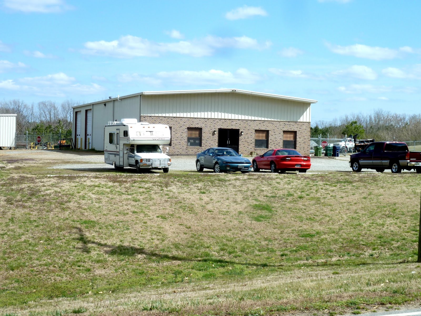 From Gaston, drove SPIA to the above business on the outskirts of the town of Lawrenceville, Virginia...a distance of 27 miles from Gaston.
After parking, walked BACK south on Highway 46 for 1.5 hours, making up the miles driven but not walked.
 Chatting with A.J./Melinda B., came upon this extraordinary property...at least 5 acres with a large kidney shaped lake - ultra-blue water color - surrounded by lush lawn and driveways.
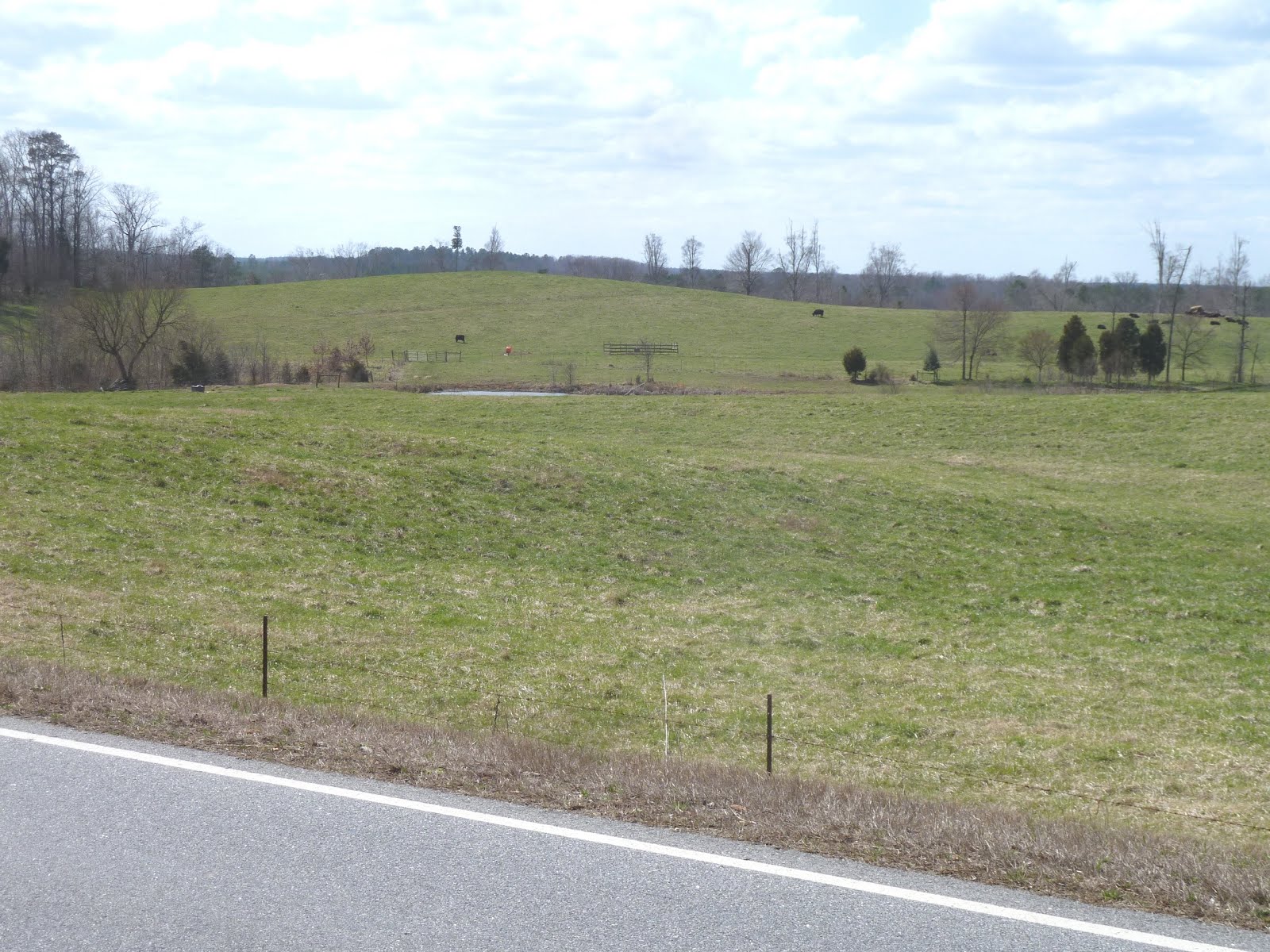 South of Lawrenceville, expansive pristine pasture land lines Highway 46.
 The far end of this section of Highway 46 is about 3 miles away.
 Ranch home on Hwy. 46.
 Meherrin River.
 A half-pipe watering trough for cattle / horses.
 A home near Lawrenceville, Virginia.
 Downtown Lawrenceville, Virginia.
 ...and another view.
I drove another 6 miles north from Lawrenceville to the intersection of Highway 46 and I-85, where SPIA is parked for the night.
Walked another hour...then called it a day at 4:00 pm.
Yesterday's repair to SPIA looks good...no movement.
Bathed my feet in luke warm water...treated myself to a glass of SCUPPERNONG Red Wine, and snacked on a ham sandwich.
Din din in a few minutes...stew again...then snuggle into the feathers and read more about the Fall Of The Roman Empire on my kindle.
Tomorrow, we do it all over again.
No comments:
Post a Comment