

 It was quite dark at 5:30am when I finally rolled out of bed.
Bub, owner of the Contractors Supply Company where we rested the night, suggested I walk the old Stone House Road which makes a 6 - 7 mile loop out into the mountains. I have inked in a small triangle on the above map - far right side - showing that route.
Under dark clouds, lightning and thunder rocking the earth, I walked for over two hours...not knowing where I was...finally, came out of the mountain road on Highway 41 (see map), which led to US 60 and back to SPIA.
About half way, the sky opened up with a cloudburst.
 Rock House Road...into the uknknown when it was still quite dark, threatening rain.
 A fallen giant.
 Four dogs live here. Two became my friends and followed 5 feet behind for 1/2 mile.
 Finally back to US 60.
 A home on Rock House Road.
 Yes, I took this photo while walking in a pouring rain.
 Arriving back at SPIA.
We then drove to a Convenience Store, about 6 miles distant, parked, and walked another 8 or so miles to Highway 19, and beyond.
 Please say HELLO to David W. Ross.
Walking back to Highway 19, stopped in at New River Exxon to ask details about a new mountain I must cross...called Gauley Mountain.
Was met by the Owner, David, who confirmed that Gauley Mountain was indeed another 8% steep mountain, about twice as long as yesterday's Mount Sewell.
It was after 11:00 am, and David offered me lunch on the house. How could I refuse fresh Baked Lasagna. Of course, David refused my $$.
Thank you, Dave.
 Dave's friend - and client -, took over entertaining me, sharing her life in Alaska and Washington State.
 David's New River Exxon & Convenience Store at the intersection of US 60 and US 19.

 "Contentment" home.
 Drove to the village of Anstead, where Gauley Mountain begins it's 10-mile descent at 8% grade.
The local State Park Raner, Joe Barghman - and his staff person, Kathy Kingcaid - offered us to park the night while walking down - and back - the mountain.
After considerable discussion with Kathy, decided to drive on to the bottom of the mountain, park, and walk back UP...it is much easier to walk DOWN to return to SPIA.
The following photographs detail my ascent and descent back to SPIA.
Again, my Mini HP is nearly out of battery & I must stop this blog.
I am so sorry to do this. Perhaps I must reduce the number of photographs back to 15 or so as in the past.


 Bridal Falls...
 Two single drops of water caught falling from a rock overhang.


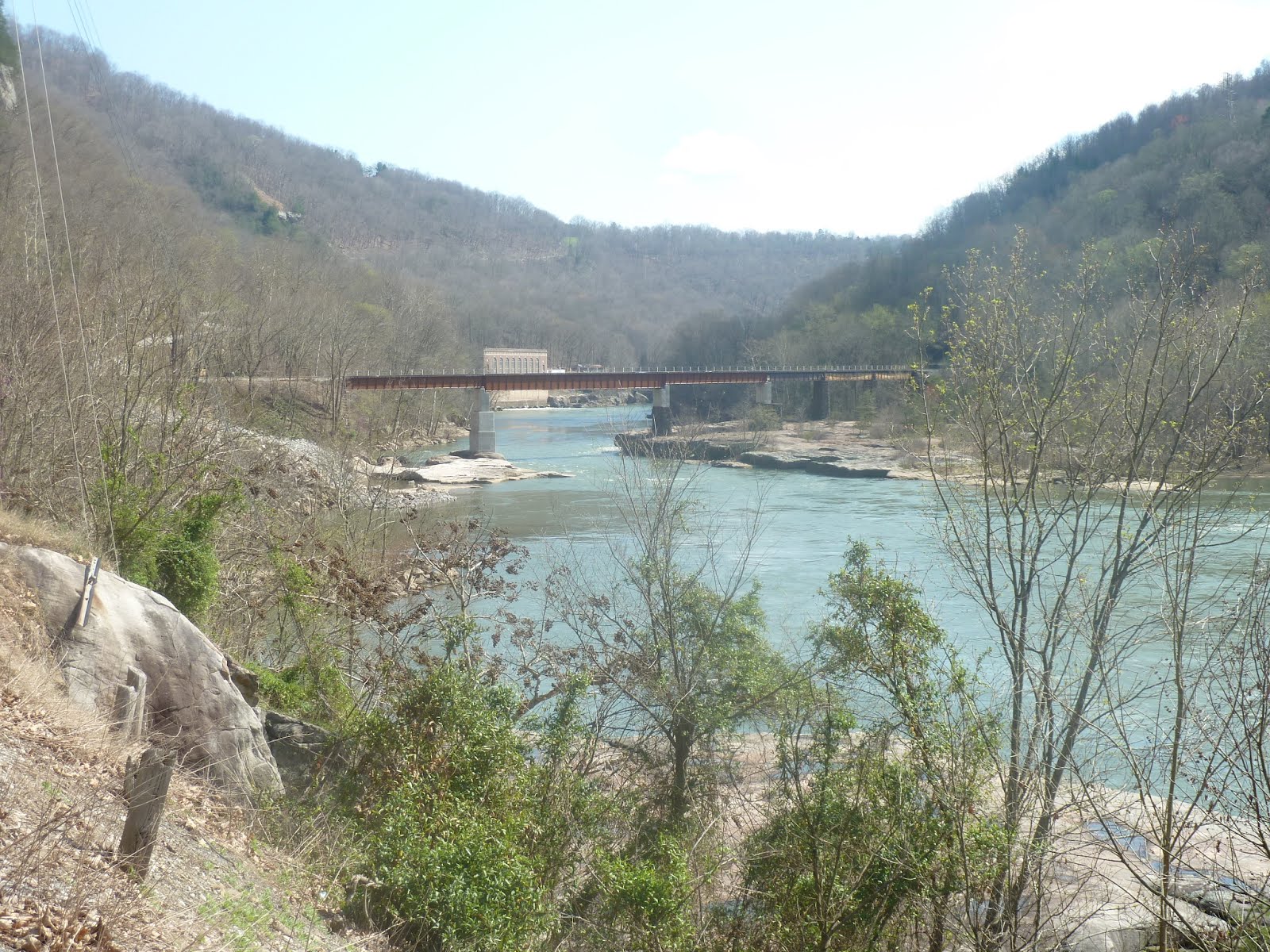
 SPIA parked for the night along side - 10 feet from the water - of the New River.
Tomorrow, continue West. Charleston, W.V. is 40 miles away, where we switch to US 35.
No comments:
Post a Comment