
 Sunrise in POCASSET, OKLAHOMA is 7:00 am local. I was out the door by 6:45 am. This photograph is with the Sun not yet risen...twilight. SPIA stayed behind as I walked North on US 81 for 7 miles and returned. 7 miles takes 1-3/4 hour, so I walked 14 miles.
 A classic Fire Engine on display in POCASSET.
 Looking North East from US 81 as I was walking toward the tiny town of MINCO, OKLAHOMA.
 The Water Tower.
 POCASSET grain elevators in silhouette...the Sun is behind the elevators.
 Flat to the horizon...there are actually a number of low long rolling hills in all directions.
 Cattle Ranching is still the main stay. Not many animals to be seen, however.
 This young fellow is curious.
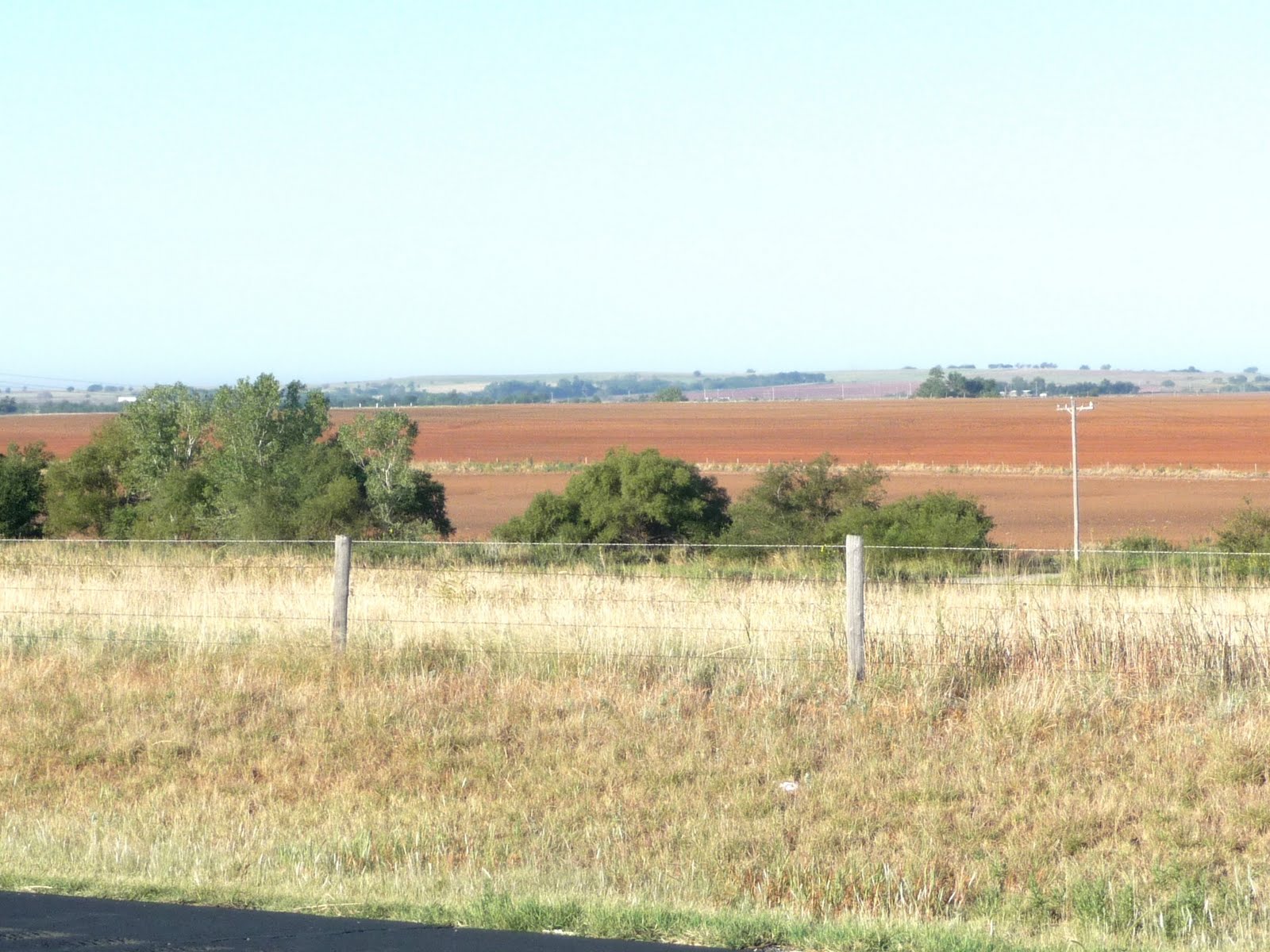 From atop a rolling rise, the many surrounding hills can be seen.
 UNION CITY, OKLAHOMA, where SPIA parked while I made my second walk of the day.
 A mural in downtown MINCO. (Actually, this mural may be in the town or UNION CITY, OKLAHOMA). Apologize for my indecision.
 UNION CITY Monument to local Military Members.
 US 81 through UNION CITY, OKLAHOMA.
 UNION CITY Water Tower.
 Look back South at UNION CITY as I walked North towards EL RENO, OKLAHOMA.
 Ranch House and out buildings.
 CALUMET, OKLAHOMA Water Tower.
From EL RENO to CALUMET, one must take the Freeway, I-40. It is a round about way, but no other road is available. The distance between is 14 miles.
 US 270 looking North into the townof CALUMET, OKLAHOMA.
SPIA is parked behind that car coming at the camera.
 CALUMET from one mile away on US 270.
 CALUMET at a distance of 4 miles from my standing on US 270 near I-40 Freeway.
 US 270 is a narrow road with nearly no berm (parking / bicycle / walking lane).
 My walking space on the US 270 berm.
A pickup truck came very close to me...he was following another pickup truck about one car length back at a speed of about 60 mph. He was MUCH too close to see any traffic ahead of the vehicle in front of him. As he passed me by, he gave out a loud continuous blast on his obnoxious horn...to demonstrate his displeasure.
I have said it many times during my walk...far too many vehicles follow too closely to the vehicles in front of them. In addition, 8 of 10 drivers are talking on their cell phone as they drive past me.
 The narrow berm leads to a very interesting installation:
AN OIL RIG
 Looking like a giant bug on spindly legs, this oil rig has self-erected from its Semi-Trailer.
It is transported down the highways in a single piece...a bit oversize, but not larger than the normal traffic lane.
 A couple days ago, we talked about and photographed HALLIBURTON and his development of using cement to seal oil well shafts from bad soils, water, or other impediments. This well has a reserve of cement on hand.
 Here we see in detail, the Semi-Trailer collapsed beneath the erected Oil Tower. The round arms at the far end of the trailer body guided the entire rig off the trailer, which was lifted into the air by the Donkey Winch - in yellow to the right of the trailer.
 About 60 % of the way up the tower is a platform. At that point are pivot points where the oil tower "folds" in two, reducing it to a length appropriate for the Semi-Trailer.
The whole system reminds me of a Tinker Toy set my kids used to play with.
 Here is the Oil Tower Semi-Trailer speeding past me on US 81 at about 60 mph. Have learned how to time the camera to catch vehicles as they whiz past.
The "folded" tower is easily seen in this photograph.
 A Side View.
 A reverse side view.
Pushed very hard today to the point of returning pain in my left leg...not yet fully healed.
Walked 36 miles. I am OK, but quite tired. It is now 8:15 pm local, very dark, and I am ready to go listen to my pillows - both of them.
Tomorrow, will walk North West on US 270 towards the town of WATONGA, OKLAHOMA, some 25 miles away.
nite nite
No comments:
Post a Comment