
It is now Sunday, March 16, 2014.
Yesterday, walked 4 sessions to and beyond BAKERSFEILD, California.
Early evening, reached the city of TAHACHAPI, California, sitting in a shallow valley 4,000 feet above the Pacific Ocean. Attempted to load images of the day at the local McDonalds, but the signal failed...so, completed upload this (Sunday) afternoon...again at the same MD.

A number of restored antique autos were touring the roadways.

Construction roadway crews were cutting cement with the above radial cutter.

The roadway into BAKERSFIELD was an ultra modern 4-lane for the 8 miles into town.


We have seen a number of this machine all across America. The large low-pressure tires allow it to maneuver well in wet muddy fields.


Leaving Bakersfield behind (do not enjoy walking IN large cities), we come to the Old Tehachapi Highway, which is the roadway I walked today. Via FREEWAY, Tehachapi is some 30 miles from Bakersfield. The FREEWAY cuts off the Old Highway for about 10 miles, making the Old roadway something like 25 miles...the last 10 miles VERY VERY Narrow - Curvy - and STEEP (to about 10 % in many places).

GRAPE VINEYARDS are already fully developed.

The distant mountains are the fabled SIERRA NEVADA (CASCADE MOUNTAINS).
On the other side of the denuded hills lie one of the driest regions in the World...including the MOJAVE Desert, over which I will walk in the next few days.
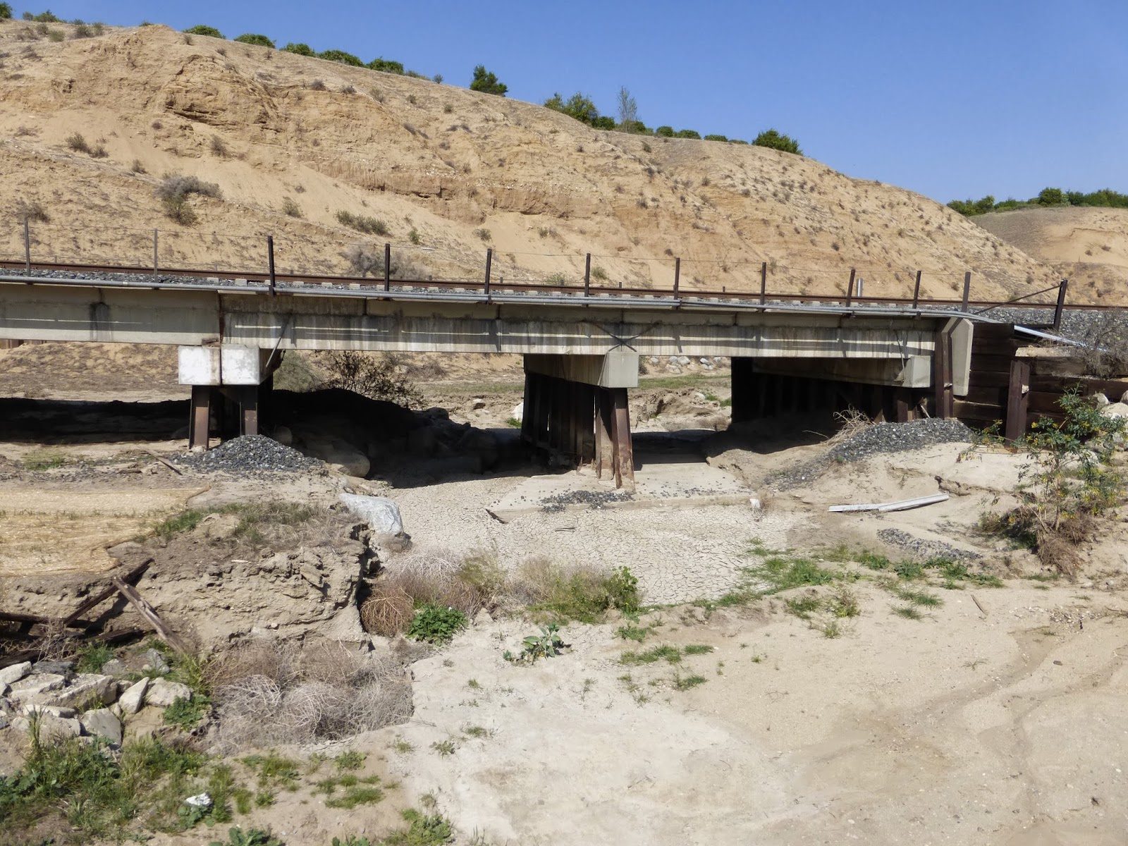

A short narrow valley leads from the plain surrounding Bakersfield into the steep hills leading up and over that 4,000 foot barrier of steep mountains.


Two years ago, SAM and ME walked this road. That old building is the remains of a once thriving Cattle Slaughter House. A family has moved into the remains...and after two years, is still there.

SPIA-2 awaits my return. My route is on the roadway next to the car...into the smaller hills for about 8 miles...traversing steep climbs and sharp narrow roadway corners. Arriving at the new FREEWAY, we must drive the FREEWAY, which has taken over the Old Roadway. At the village of KEENE, California, we return to the Old Road and climb the final 8 miles overlooking the FREEWAY and the Railroad far below.


Difficult to envision, this section is VARY steep. The FREEWAY is in the distance.
Two years ago, I parked SAM next to the guardrail against that small bush...while I walked the miles BACK to SPIA-1...a bit of a psychological downer to always have to walk BACK to fetch the vehicle.


For those not in the "know", the above is a "CORRAL"...where animals are penned awaiting being shipped by truck...or in days past, by Wagon or Rail.

KERN COUNTY Evacuation Emergency Helicopter...stationed where the FREEWAY passes the village of KEENE.

KEENE Household...other such cling to small pieces of ground...much of which is on steep hillsides.
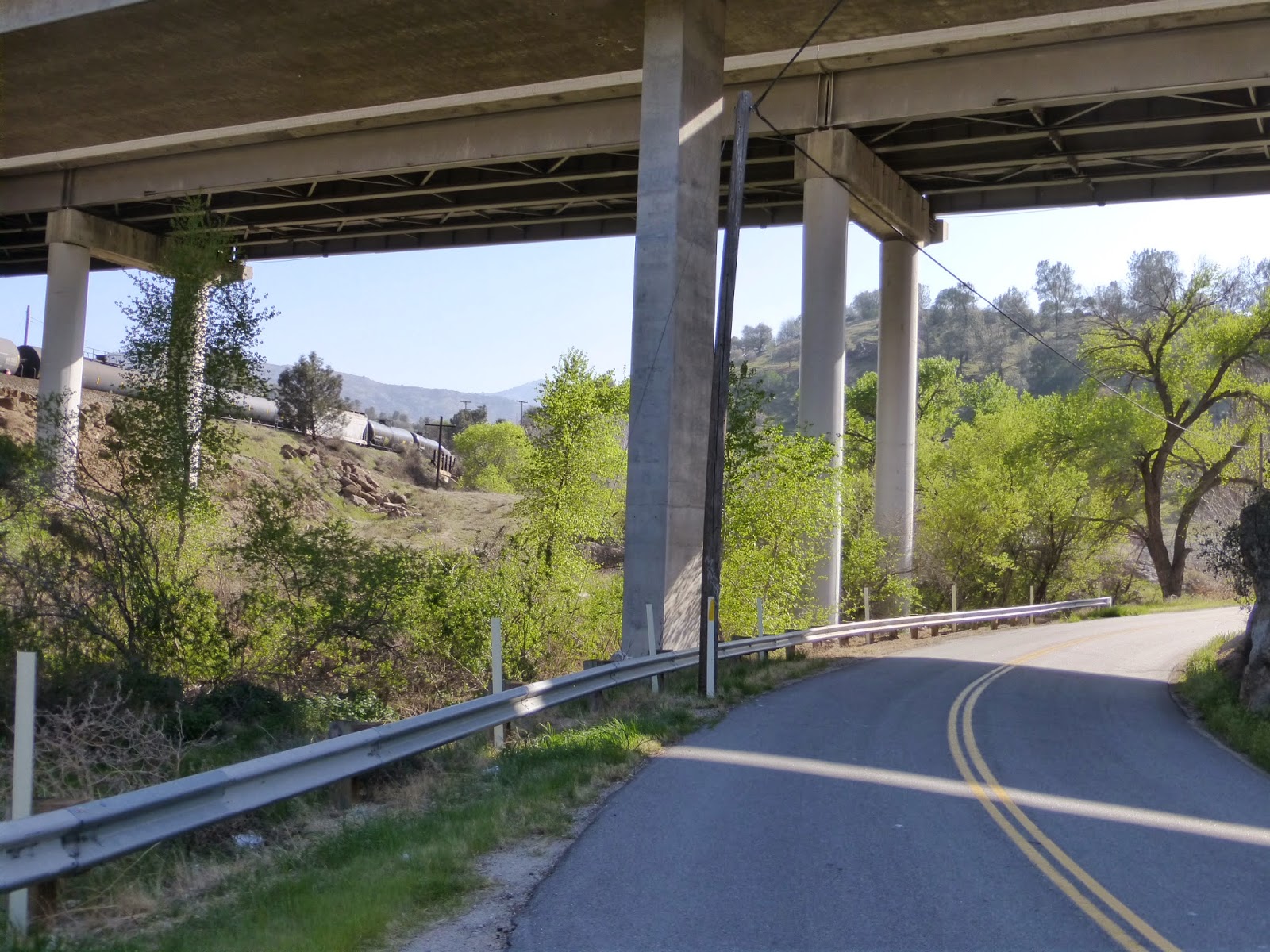
The FREEWAY passes over the Old Highway.
A "stopped" train is further up the hillside.


Looking back DOWN the Old Highway.

A better view of the FREEWAY ...taken as I walked BACK down to fetch SPIA-2 at KEENE.


A home with a VIEW.

Topping (going over the top) the Mountain, this is the view looking down onto the city of TAHACHAPI...about 3 miles distant.
* * * * * * * * * *
I was fortunate to come upon a McDonalds AND an ALBERTSON's Supermarket, where I spent the night parked in their parking lot...and provisioned for the coming crossing of the MOJAVE Desert...to the LEFT and BEYOND the distant hills.
HOLD ON...A pretty young lady just approached me (dragging three young hunks along).: ..asking that I mention her...SO:
Please say HELLO to NIKKI - NICOLETTE. A photograph will appear tomorrow !!!
1 comment:
Still following you
DALLAS OF WV
Post a Comment